November 2019: Geoinformatics– 3 talks
When: 25/11 14:00-16:00
Where: University of Haifa, Rabin Building, Room 5015
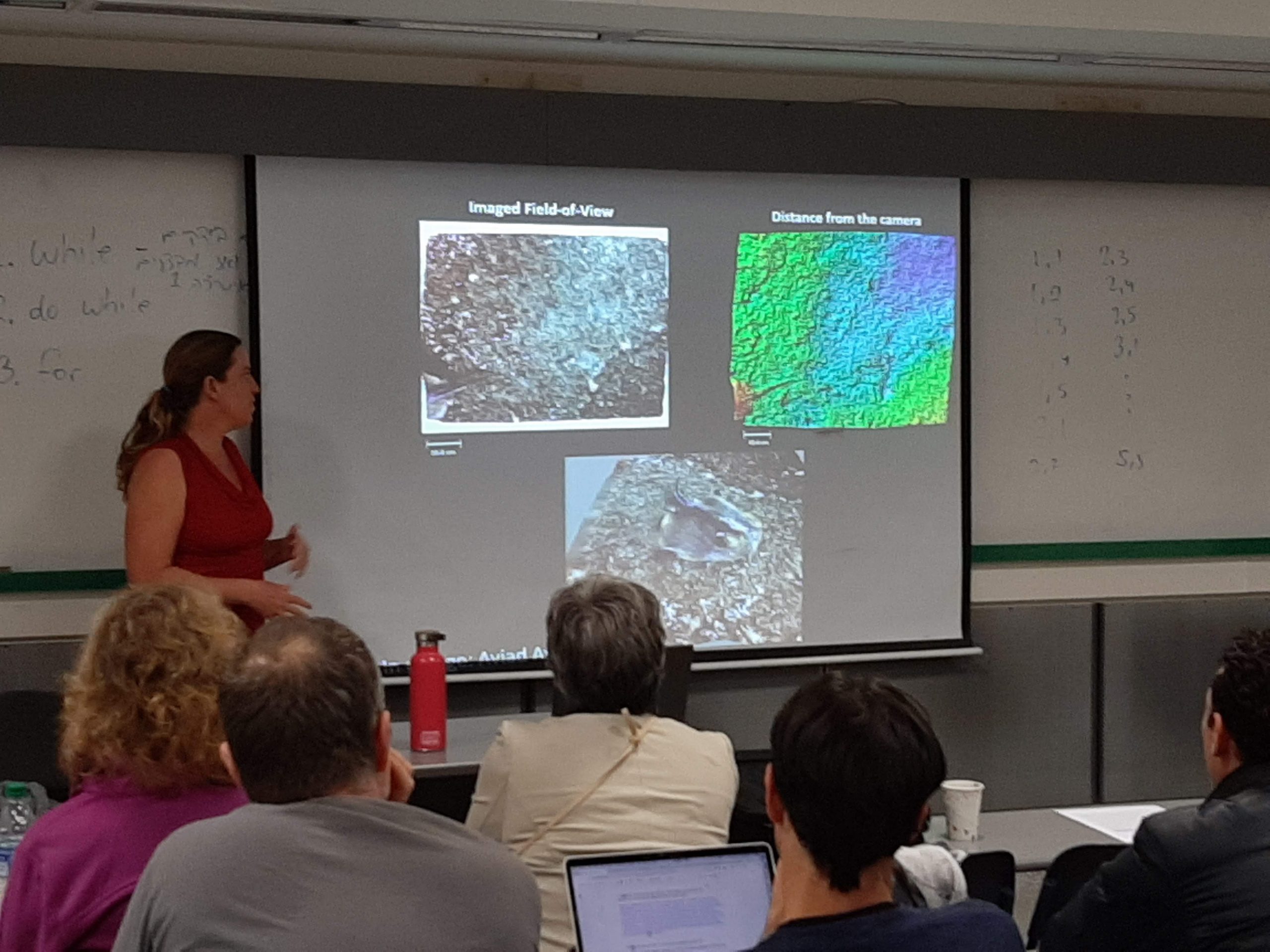
There is Plenty of Fish in the sea: Challenges in Underwater Computer Vision
Dr. Tali Treibitz (The Hatter Department of Marine Technologies, University of Haifa, Israel)
The ocean covers 70% of the earth surface, and influences almost every aspect in our life, such as climate, fuel, security, and food. The EU estimates that its maritime regions account for around 40% of its GDP. All over the world, depleting resources on land are encouraging increased human activity in the ocean, for example: gas drilling, desalination plants, port constructions, aquaculture, fish farming, producing bio-fuel, and more. These expanded activities influence the delicate ecology that is already threatened by global warming and ocean acidification, and present a risk of over-exploitation. The ocean is a complex, vast foreign environment that is hard to explore and therefore much about it is still unknown. Interestingly, only 5% of the ocean floor has been seen so far. As human access to most of the ocean is very limited, most of the operations in it rely on remote sensors. Thus, it introduces numerous research challenges in monitoring, surveying and data analysis on a wide scale.
In this talk I will cover some of our recent efforts in underwater computer vision and present open challenges.
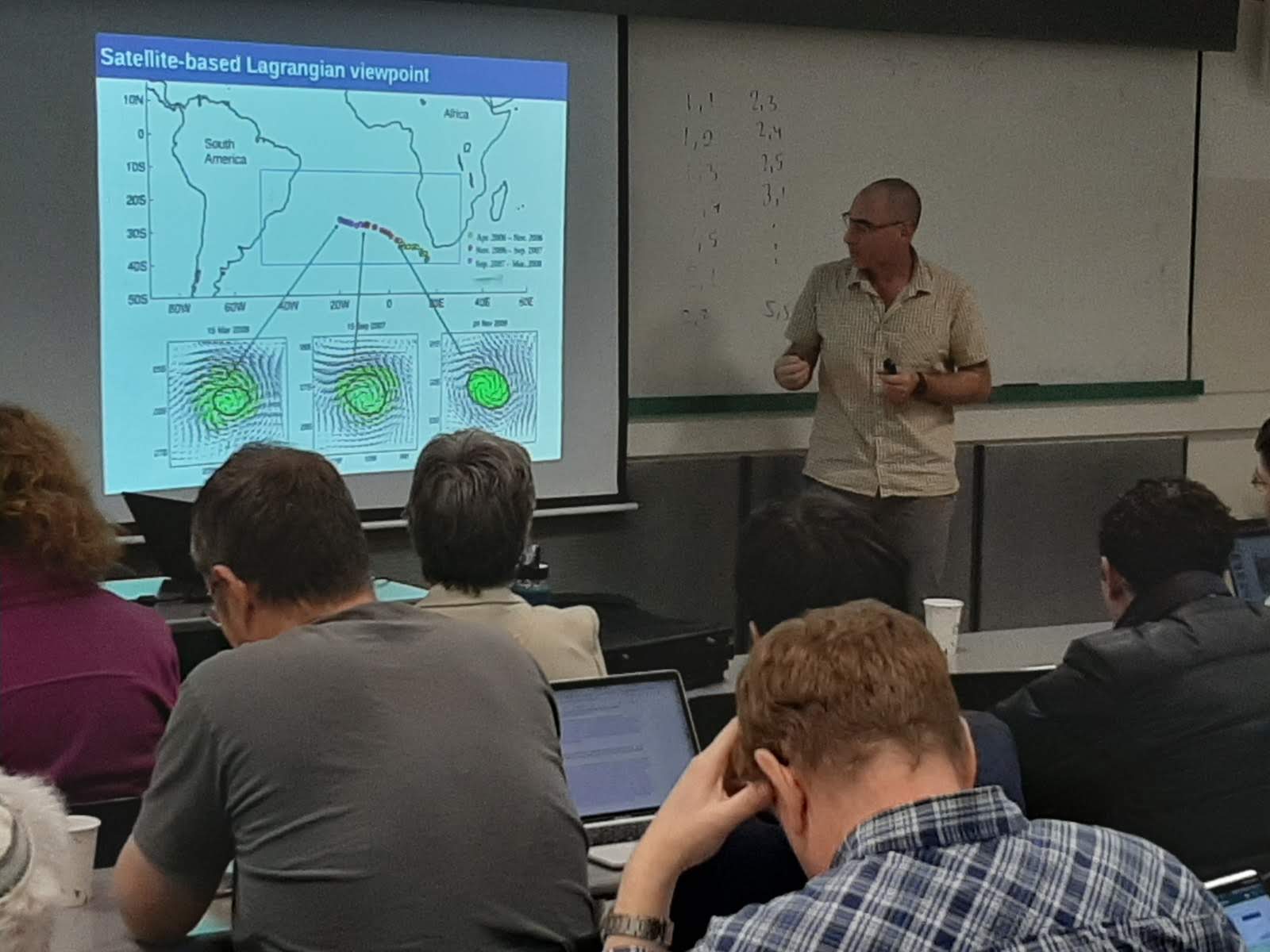
Integrating multiple data sources for cross-disciplinary study of marine systems
Dr. Yoav Lehahn (The Strauss Department of Marine Geosciences, University of Haifa, Israel)
The study of the ocean is one of the biggest scientific challenges of the 21st century. It has a direct impact on our understanding of Earth’s climate and biogeochemical cycling, as well as on our ability to provide human society with food, chemicals and energy. Oceanographic research relies largely on in-situ and remotely-sensed observations, which describe physical, chemical and biological seawater properties at a given time and place. These observations are collected from various manned and unmanned platforms, including research vessels, floats, drifters, autonomous vehicles and satellites, providing abundance of interdisciplinary information on processes occurring over a wide range of spatial (from microns to thousands of km) and temporal (from seconds to decades) scales. Collection of oceanic data is tedious and costly. However, due to their wellrecognized importance, over the last century numerous in-situ and remotely-sensed measurements have been constantly performed in different parts of the World Ocean, resulting in the creation of a very large amount of oceanic data, scattered between different research domains and disciplines. In this talk I will discuss some of the possibilities, challenges and approaches associated with integration of multi-source data for improving our understanding on marine systems and their role in the Earth system.
In his work as an oceanographer Dr. Lehahn investigate the marine environment at the interface between scientific disciplines. For that he integrate theoretical work with acquisition, processing, analysis and interpretation of (i) in-situ data and (ii) remote sensing data from satellites and drones. His current work includes development of tools for high resolution remote sensing of the marine environment, implementation of artificial intelligence methods for oceanic data integration, and investigation of jellyfish and phytoplankton bloom dynamics off the Israeli coast of the Eastern Mediterranean
Dr, Yoav Lehahn studied Geophysics and biology in Tel Aviv University, and obtained a Ph.D. in Oceanography from Université Pierre et Marie Curie (University Paris VI) in Paris, France. He is a senior lecturer in the Department of Marine Geosciences in University of Haifa since 2017
Flood Forecasting in Data-Scarce Regions
Dr. Zvika Ben-Haim (Google LLC)
Floods are among the most common and most deadly natural disasters in the world. Flood forecasts are crucial for effective individual and governmental protective action. The vast majority of flood-related casualties occur in developing countries, where providing spatially accurate forecasts is a challenge due to scarcity of data and lack of funding. I will describe Google’s flood warning system, which provides flood extent forecast maps covering several flood-prone regions in India, and aims to eventually expand globally. To this end, we build high-resolution topographic maps from satellite data and run detailed hydraulic simulations to determine flood extent.
Dr. Zvika Ben-Haim received the B.Sc. degree in electrical engineering and the B.A. degree in physics in 2000, the M.Sc. in electrical engineering in 2005, and the Ph.D. degree in electrical engineering in 2010, all from the Technion—Israel Institute of Technology, Haifa, Israel. He is currently with the Google Israel R&D Center.


